Pelion mountain and sea · Thirteen places

Places of the Family

Ano Volos, Anakasia, and Makrinitsa remain the maternal heart, now joined by Portaria, Tsagarada and Mylopotamos, Zagora and Chorefto, Milies and Kala Nera, and Vizitsa.

Chapter I · Ano Volos

Άνω Βόλος · Ano Volos

The western slopes of Pelion · Magnesia
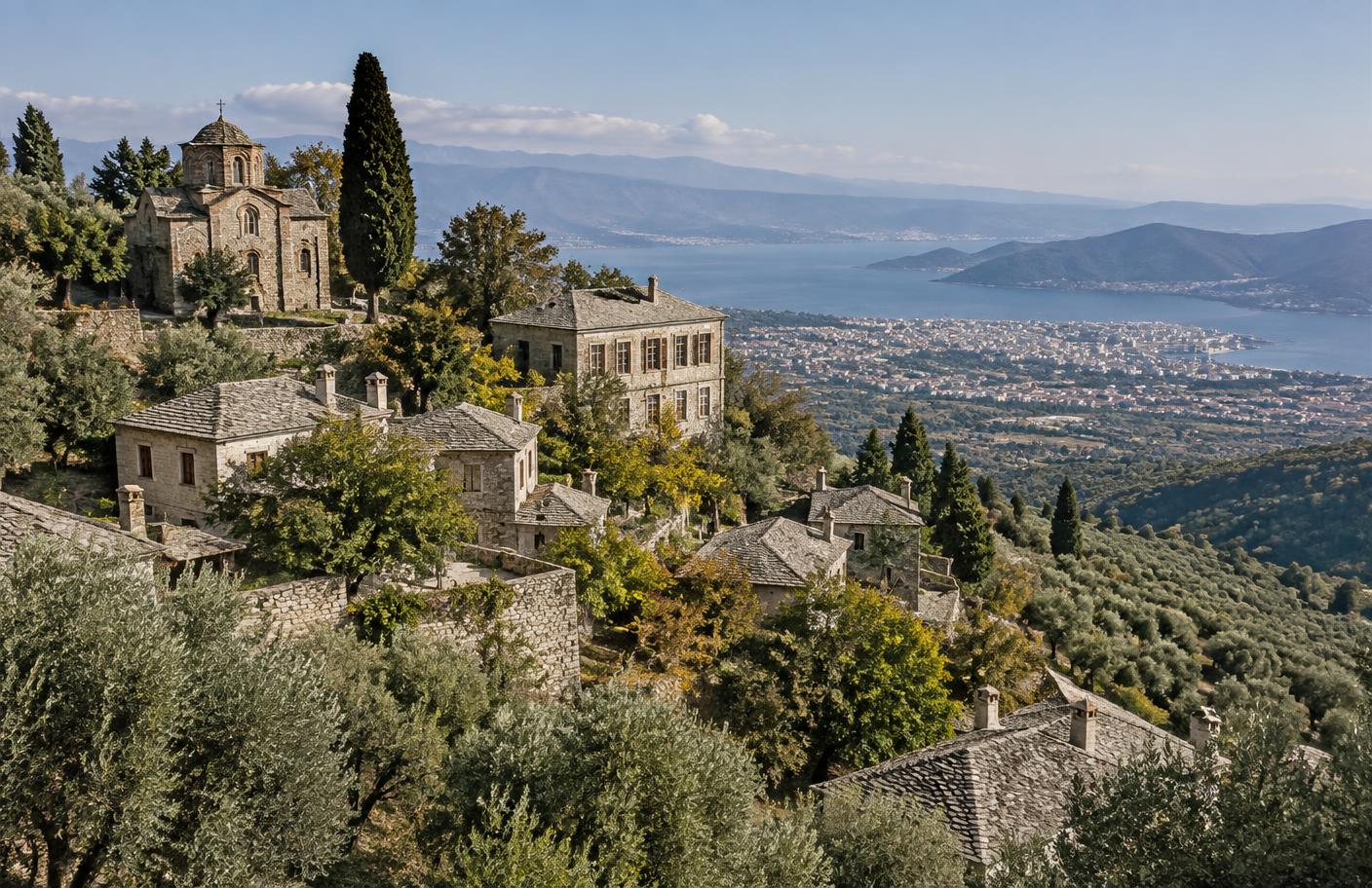
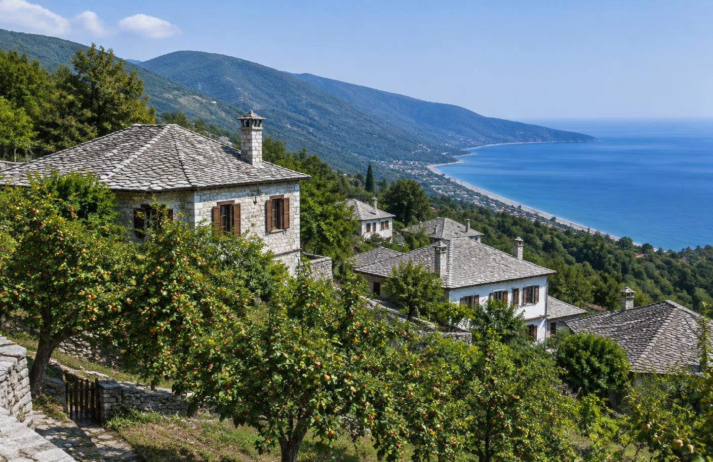
Stone houses and churches on the Pelion slopes above Volos

Known as Ano Machalas until 1916, Ano Volos developed as a group of hillside quarters above the port. Its nineteenth-century households participated in silk weaving, olive oil and wine production, milling, and regional trade.

Open map, landmarks & archives
Next place

Chapter II · Anakasia

Ανακασιά · Anakasia

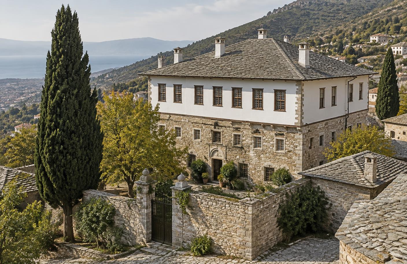
The Kontos Mansion · Iolkos, Magnesia

Historically grounded reconstruction of a Pelion archontiko in Anakasia above Volos

Anakasia adjoins Ano Volos on the lower slopes of Pelion and forms part of the historic Iolkos landscape. Like its neighboring settlements, it flourished through milling, crafts, agriculture, and regional trade during the nineteenth century.

Open map, landmarks & archives
Next place

Chapter III · Makrinitsa

Μακρινίτσα · Makrinitsa

The balcony of Pelion · Magnesia

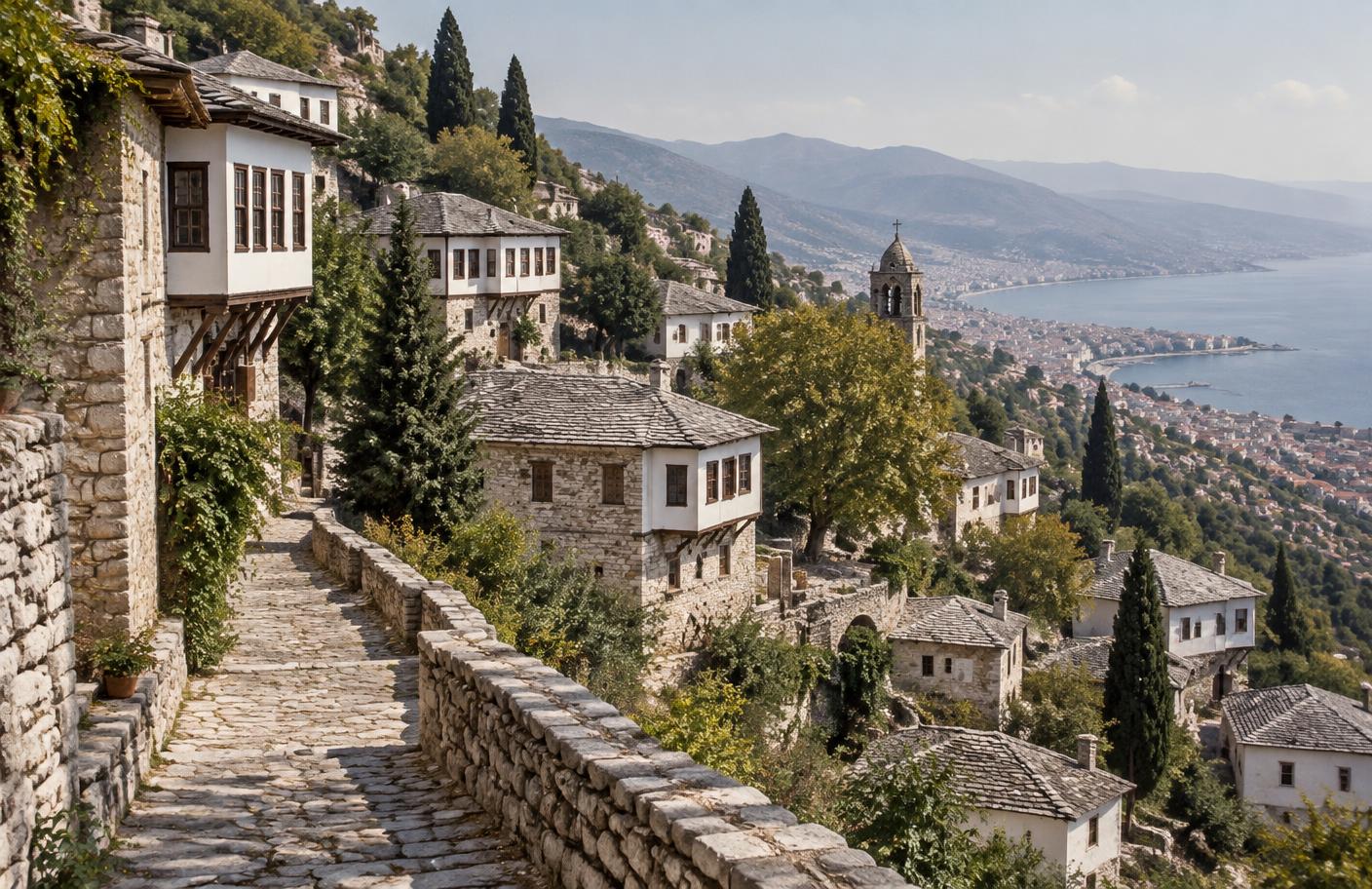
Historically grounded reconstruction of Makrinitsa's stone mansions and cobbled lanes above Volos

Makrinitsa grew around the medieval monastery of Panagia Makrinitissa, founded in the early thirteenth century by the Malliasenos family. Under Ottoman rule it developed into one of Pelion’s largest and most prosperous settlements, particularly during the eighteenth century.

Open map, landmarks & archives
Next place

Chapter IV · Portaria

Πορταριά · Portaria

Western Pelion · the road above Volos

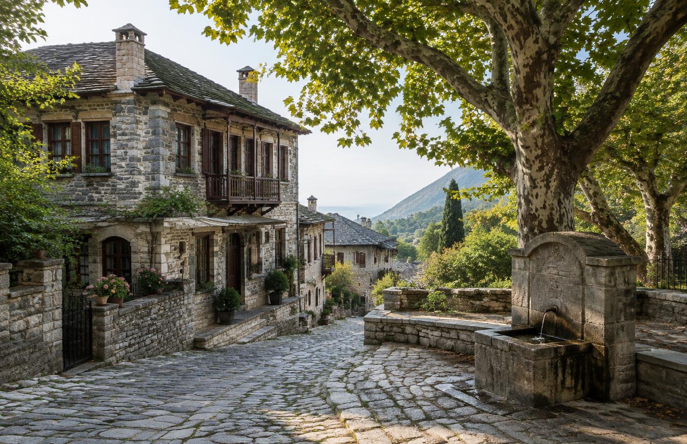
Documentary reconstruction of Portaria's stone mansions, cobbled street, and plane-shaded fountain

Portaria rises immediately above Volos on Pelion’s western slope. Stone houses, archontika, fountains, churches, and shaded cobbled lanes record the prosperity of a village tied closely to the port below.

Open map, landmarks & archives
Next place

Chapter V · Tsagarada & Mylopotamos

Τσαγκαράδα · Μυλοπόταμος

Eastern Pelion · forest and Aegean shore

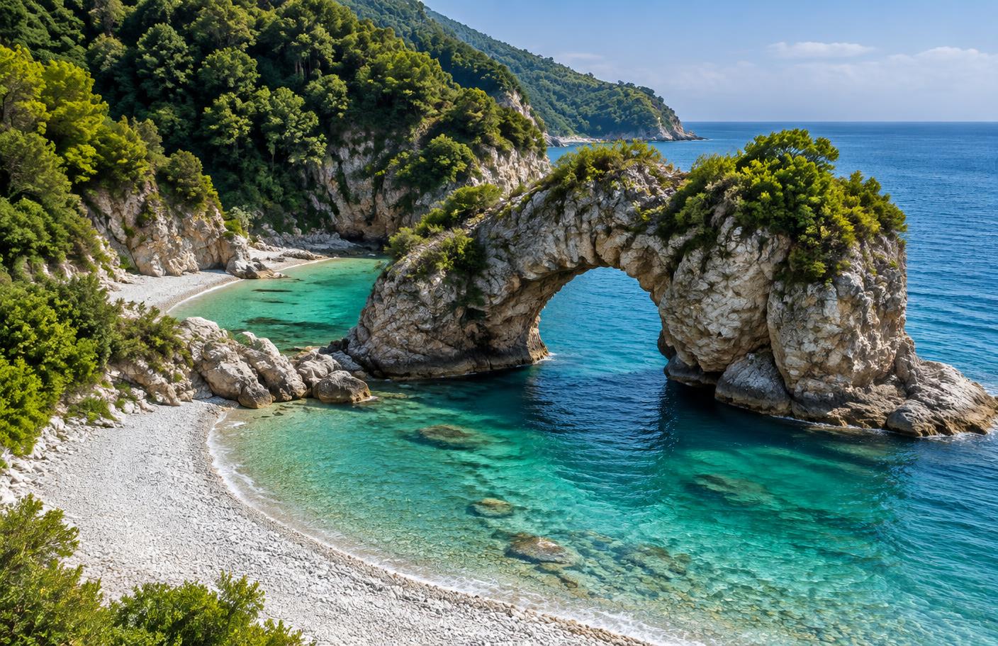
Documentary reconstruction of Mylopotamos beach and its natural rock arch beneath Tsagarada

Tsagarada is spread among several church-centered quarters in the deep forests of eastern Pelion. Its cobbled paths descend through chestnut and plane woods toward the Aegean coast.

Open map, landmarks & archives
Next place

Chapter VI · Zagora & Chorefto

Ζαγορά · Χορευτό

Eastern Pelion · orchards, books, and the sea

Documentary reconstruction of Zagora's stone houses and orchards above the Chorefto coast

Zagora, one of Pelion’s largest historic villages, grew through cultivation, textile work, education, shipping, and trade. Its orchards descend toward Chorefto, the maritime outlet used by Zagorian ships.

Open map, landmarks & archives
Next place

Chapter VII · Milies & Kala Nera

Μηλιές · Καλά Νερά

Southern Pelion · learning, rails, and gulf shore

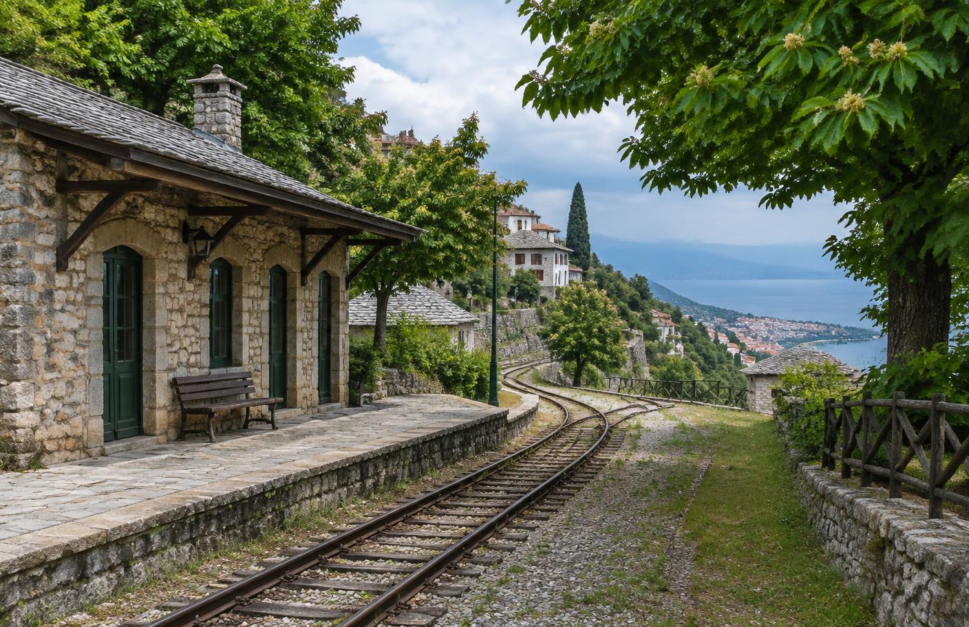
Documentary reconstruction of the old Pelion railway at Milies above the Pagasetic Gulf

Milies became a center of Pelion learning, commerce, and book culture. Its historic library and school reflect the intellectual life created by teachers and merchants of the mountain villages.

Open map, landmarks & archives
Next place

Chapter VIII · Vizitsa

Βυζίτσα · Vizitsa

Western Pelion · preserved archontika

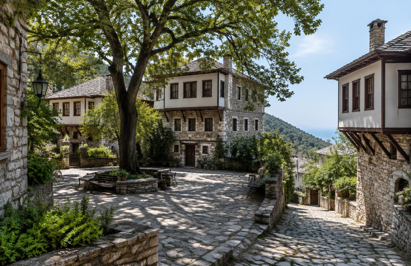
Documentary reconstruction of Vizitsa's traditional Pelion mansions around a shaded stone square

Vizitsa is a protected traditional settlement of western Pelion, built above the Pagasetic Gulf. Its stone lanes and concentrated group of archontika preserve the form of prosperous mountain domestic life.

Open map, landmarks & archives
Next place

Chapter IV · Soupli

Αγία Τριάς · Agia Trias

Formerly Soupli · Farsala, Larissa

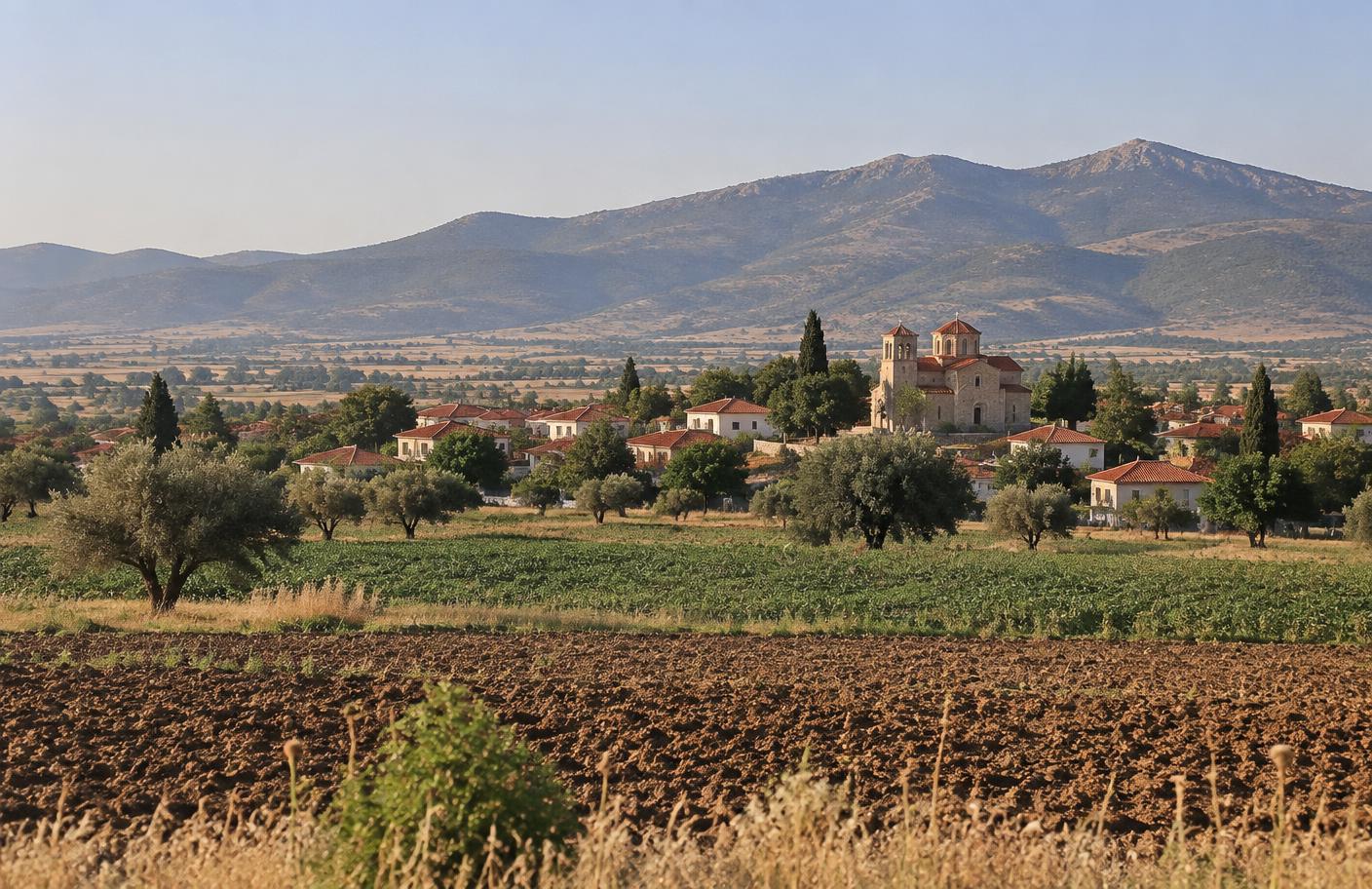
The rural Thessalian landscape around Agia Trias, formerly Soupli

Recorded administratively as Soupli by 1833, the settlement was officially renamed Agia Trias on 4 November 1927. Today it belongs to the Skotoussa community in the municipality of Farsala.

Open map, landmarks & archives
Next place

Chapter X · Volos

Βόλος · Volos

The family port · Pagasetic Gulf, Magnesia

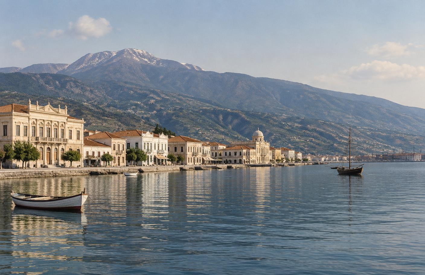
Documentary view of the Volos waterfront beneath Mount Pelion

Modern Volos grew rapidly after Thessaly joined the Greek state in 1881, becoming the principal port and industrial center of central Greece. Its streets joined the Pelion villages and Thessalian plain to maritime trade and migration.

Open map, landmarks & archives
Next place

Chapter XI · Farsala

Φάρσαλα · Farsala

District center · Southern Thessaly

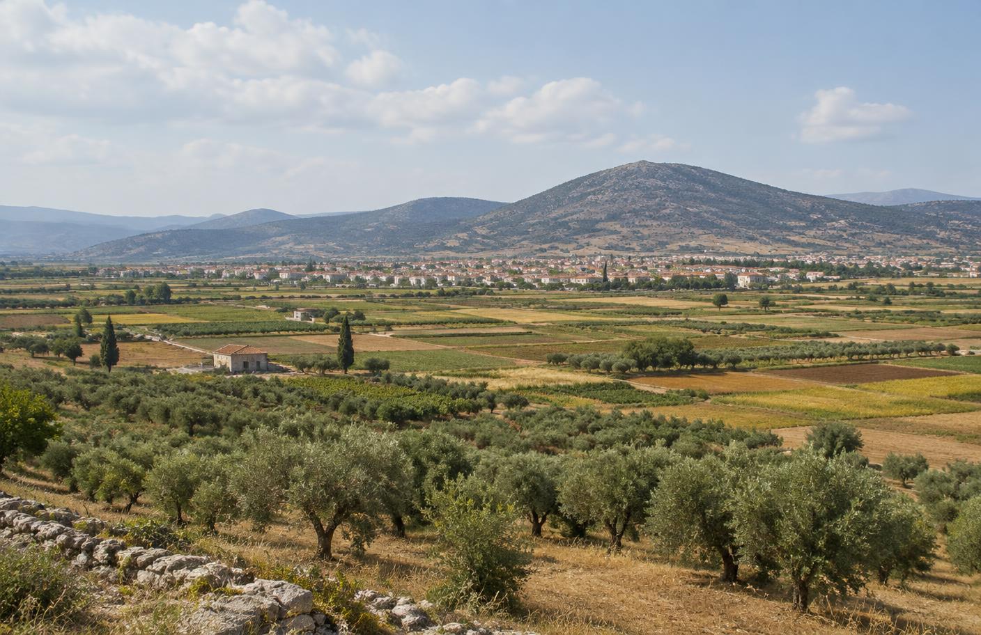
Documentary view across the agricultural plain surrounding Farsala

Farsala stands in the fertile southern Thessalian plain on a site occupied from prehistoric antiquity. Ancient Pharsalos, its acropolis, and the surrounding countryside preserve evidence of the region's long strategic and agricultural importance.

Open map, landmarks & archives
Next place

Chapter XII · Skotoussa

Σκοτούσσα · Skotoussa

Village community · Municipality of Farsala

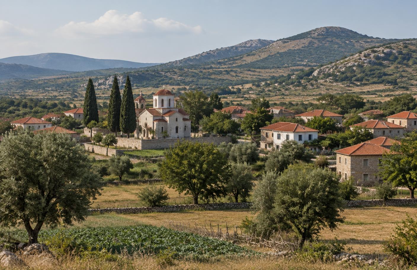
Documentary reconstruction of a rural village landscape near Skotoussa in Thessaly

Skotoussa is a rural community in the municipality of Farsala, set among the fields and low foothills of southern Larissa. Nearby ancient Skotoussa was a fortified Thessalian city whose economy drew upon the surrounding grain country.

Open map, landmarks & archives
Next place

Chapter XIII · Longueuil

Longueuil · Québec

South shore of the Saint Lawrence

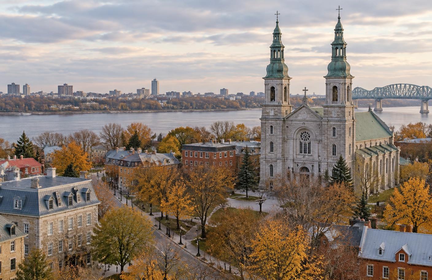
Historic Longueuil and Saint-Antoine-de-Padoue Co-Cathedral beside the Saint Lawrence

Longueuil began with a seigneurial grant to Charles Le Moyne in 1657. Its historic center grew opposite Montréal, becoming a town in 1874 and a city in 1920.

Open map, landmarks & archives