Chapter V · Tsagarada & Mylopotamos
Τσαγκαράδα · Μυλοπόταμος
Eastern Pelion · forest and Aegean shore
The place in history
Tsagarada is spread among several church-centered quarters in the deep forests of eastern Pelion. Its cobbled paths descend through chestnut and plane woods toward the Aegean coast.
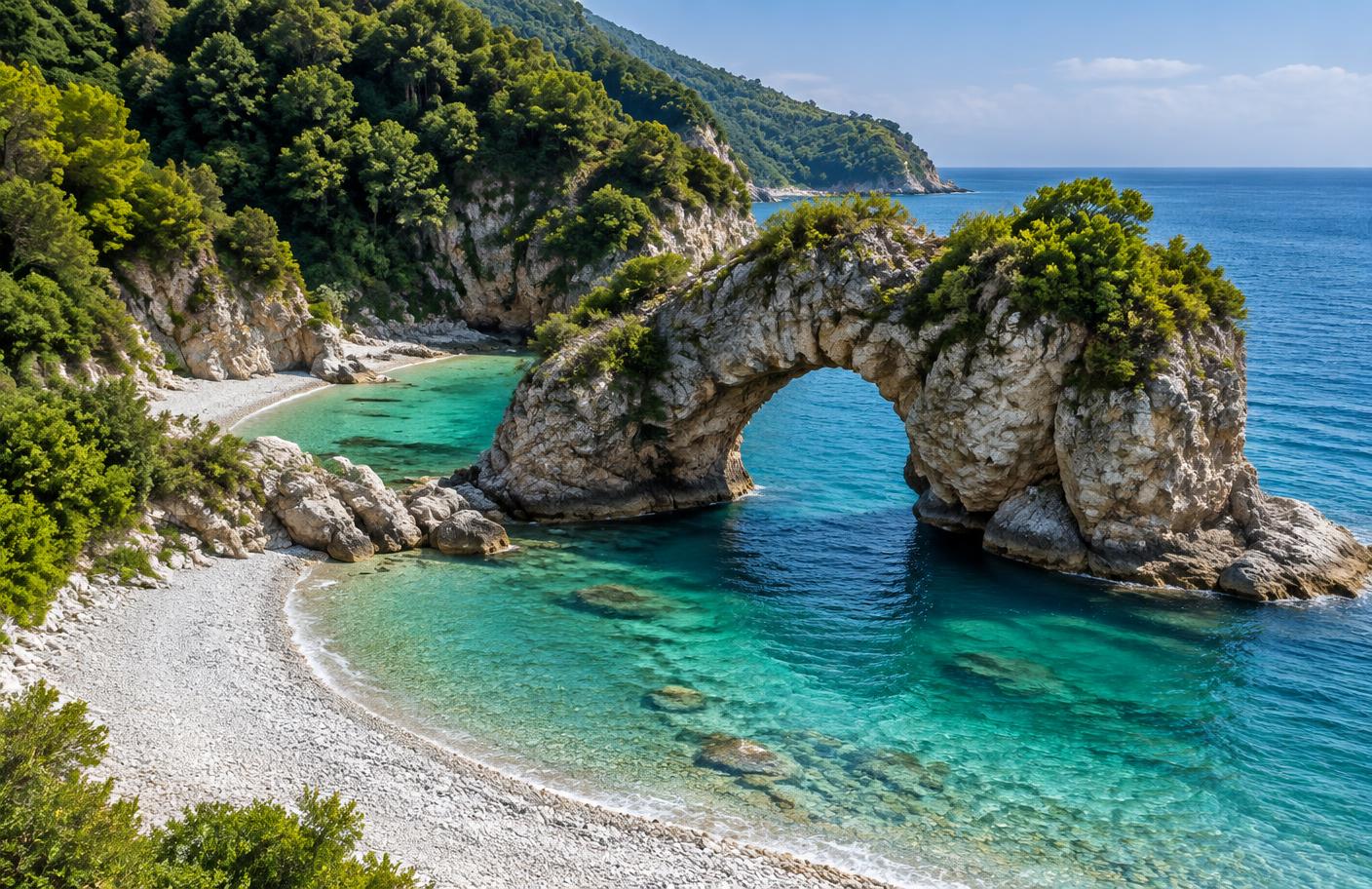
Mylopotamos is the village’s emblematic beach: a rocky opening divides the shore into adjoining coves. It represents Pelion’s defining meeting of mountain, forest, and sea.
The Aegean shore · Παραλία
Mylopotamos beneath the mountain
The steep eastern slope drops quickly from Tsagarada to a shore of pale pebbles, rock, and clear Aegean water. The natural opening in the coastal rock gives Mylopotamos its unmistakable form.
This image is a documentary reconstruction rather than an archival photograph; the map and cited regional sources establish the location and landscape context.
Αρχοντικό
House · inheritance · memory
Landmarks
- 1
Mylopotamos beach
The two-part Aegean cove divided by a natural opening in the rock.
- 2
Agia Paraskevi square
A village square known for its monumental plane tree and stone church.
- 3
Tsagarada–Damouchari path
A historic cobbled descent connecting the mountain settlement to the coast.
Archives & sources
- Visit Thessaly — Mylopotamos
Regional destination record for the double cove and its coastal geography.
- Visit Greece — routes in Pelion
National record of the Tsagarada–Damouchari historic walking route and eastern Pelion landscape.
- National Hellenic Research Foundation — Pelion settlements
Scholarly historical context for Pelion’s village network.